

A severe thunderstorm tore through the Hockley County area on Tuesday evening bringing with it a dust storm followed by large hail and heavy rain, causing damage to many homes and other properties.
NWS Lubbock issued a severe thunderstorm warning for southern Hockley County at about 5:34 p.m. The storm was located about six miles north of Locketville and seven miles south of Levelland. The warning cited two-inch hail and 60-mph wind gusts, with potential for hail damage. Residents in Levelland, Sundown, Smyer, Ropesville and Opdyke West were urged to seek shelter inside a sturdy building and avoid windows. A tornado warning for southern Lamb and northern Hockley counties was issued but later canceled.
The NWS had issued similar warnings at 8:20 p.m. and 8:28 p.m., noting baseball-size hail and 60-mph gusts, underscoring the storm’s destructive potential.
The Storm Prediction Center expanded the severe watch southward to include Terry, Lynn, Garza and Kent counties. Hail was reported from golf ball size to baseball size in some areas of the county and city. Hail this size can dent vehicles, crack vinyl siding and damage roofing materials on contact, as well as destroy trees and landscaping plants.
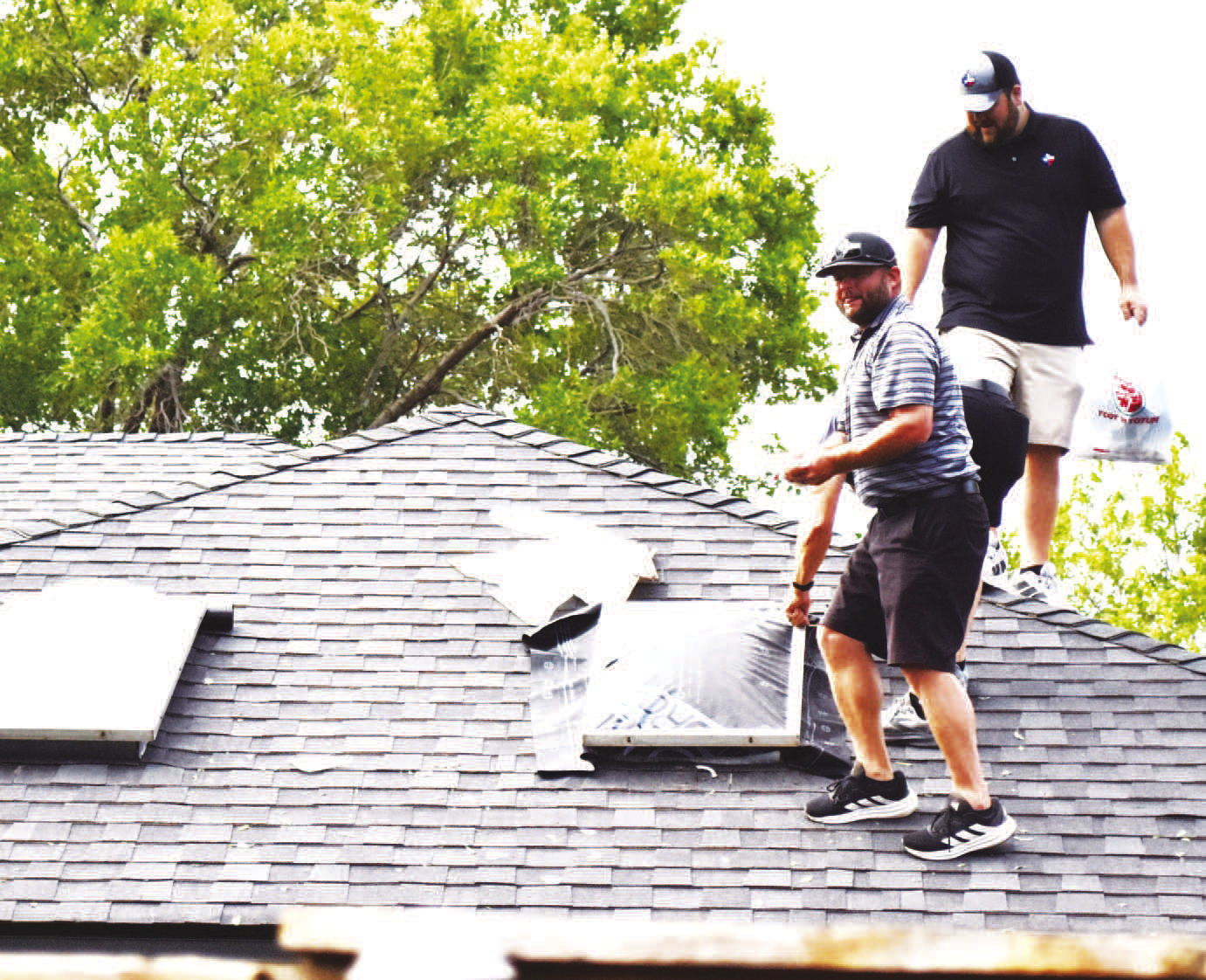
Just after the storm moved through, reports of broken sky lights, windows, tree limbs and other damage began filling social media.
Myriah Baty reported some significant property damage off 303 between Sundown and Levelland, with a camper, outbuildings, vehicles and a stock trailer becoming the target of large hail and high wind.
A drive through the Levelland Country Club addition saw limbs down and numerous skylights broken as roofers, home insurance inspectors and other providers of services began their job of repairs.
It has been just over two years since Levelland was hit by a destructive storm, that likely a microburst caused significant damage caused by 100-120 mph straight line winds and hail.